Natural Bridges National Monument and
vicinity
Go to MORE
PHOTOS FOR Natural Bridges?
Overview of this Site
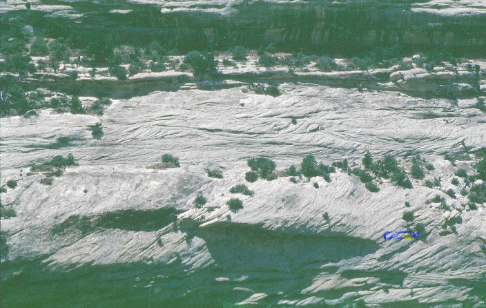
At Natural Bridges
we will investigate rocks that are time equivalent to part of the Cutler
Formation in the Gateway fan. Here the Cutler can be separated into formations
and is itself raised to Group status. In the park we will look at the Cedar
Mesa Sandstone. Here, as in Big Spring Canyon in the Needles District of
Canyonlands National Park, the Cedar Mesa exhibits cyclicity. Definite eolian
and mudflat facies can be identified. But are the limey beds and reworked sand
beds the result of deposition in lakes or the sea? Geologists don't agree. What
information can help to resolve the question?
To
get to Natural Bridges travel south on Highway 191 from Moab. You will pass
through the towns of Monticello and Blanding. At the far southern end of
Blanding turn to the west on Highway 95. The Abajo Mountains lie to the
northwest. As you travel along Highway 95 you will travel past Butler Wash,
Comb Ridge, and Mule Canyon (all known for outstanding archeological and/or
geological features). The road to Natural Bridges (Highway 275) turns off of
Highway 95 just past Highway 95's intersection with Highway 261. The features
described here can be seen along the developed trail in the Park that leads to
Kachina Bridge.
White Canyon offers
excellent exposure of Permian and Triassic rocks. In this area the Permian
Cedar Mesa Sandstone (the eolian facies are particularly well exposed), Organ
Rock Formation, and, at the far northwest end of the canyon, the White Rim
Sandstone. In this area the Permian rocks are unconformably overlain by the
Triassic Moenkopi Formation. In eastern White Canyon the unconformity is very
hard to identify (look for coarse well-rounded quartz grains in the Hoskinnini
Member of the Moenkopi where it overlies the Organ Rock). To the west, the
White Rim is overlain by a chert-pebble conglomerate that occurs at the base of
the Black Dragon Member of the Moenkopi. The conglomerate was deposited by
streams that flowed from west to east (what implication does that have for
paleogeography?) and deposited sediment in the Hoskinni basin. In White Canyon
be sure to watch for large-scale wavy bedding, fluid escape structures, and
slumps in the Hoskinni. These are probably the largest examples of th ese
features known.
Highway
95 basically parallels White Canyon from Natural Bridges National Monument to
Lake Powell.
![]()
Return
to Geology of Utah's National Parks Home Page
Return to Introduction to Photos Page
![]()