LiDAR 3D Mapping
Purpose: Advance GIS course Semester: 2nd (Spring) Date: January to April 2024 Softwares: ArcGIS Pro Skills: LiDAR, 3D Visualization, Geoprocessing, Python, Spatial Analysis, Image Mosaicking, Terrain AnalysisObjective
Demonstrate how to load and manipulate LiDAR data in ArcGIS Pro to create a detailed 3D representation of the Yellowstone Caldera and analyze land cover attributes.
Output
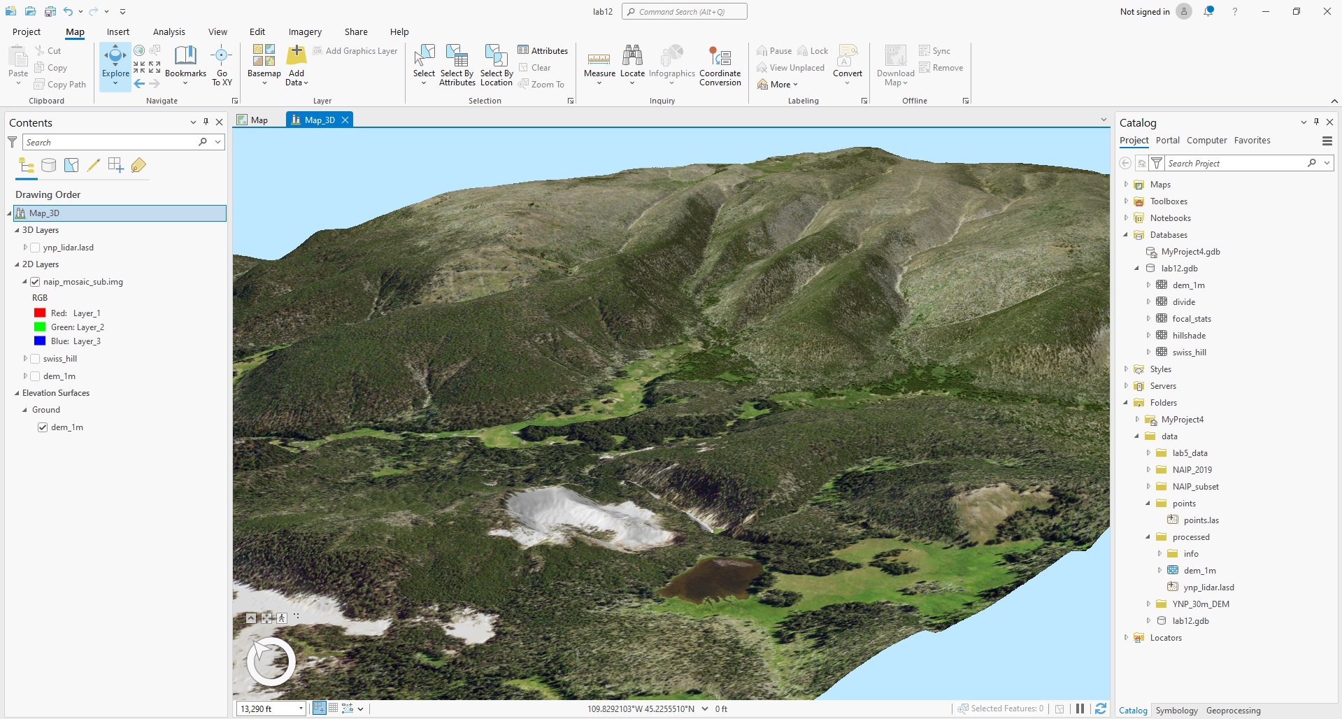
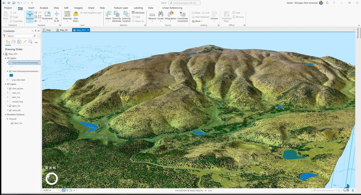
3D map visualizations of the Yellowstone Caldera using NAIP imagery and LiDAR data, depicting detailed terrain and vegetation analysis.
Tools Used
- ArcGIS Pro for loading, visualizing, and analyzing LiDAR and NAIP data.
- ERDAS Imagine for mosaicking NAIP images.
- Python for running custom scripts to enhance visualizations (e.g., Swiss Hillshade).
3D Map

Reclassified Vegetation Height 3D Map

 Back to Portfolios