In the waterfront park:
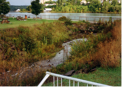
- The stream banks are too steep, pose access and safety concerns, provide little wildlife habitat, and are visually unappealing.
- The path of stream is very straight and does not appear as a natural feature.
The following photographs illustrate the changes that have taken place over time.
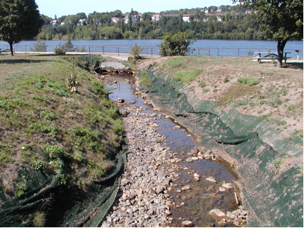
| The banks of Huron Creek in the waterfront park as originally designed. Notice the vegetation along the banks. | The banks of Huron Creek as they were in 2006. Notice the exceedingly eroded channel banks and exposed geo-textile mats. Also the note the sandy appearance of the soil on the banks. |
|
|
|
City of Houghton files |
City of Houghton files
|
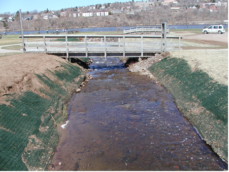
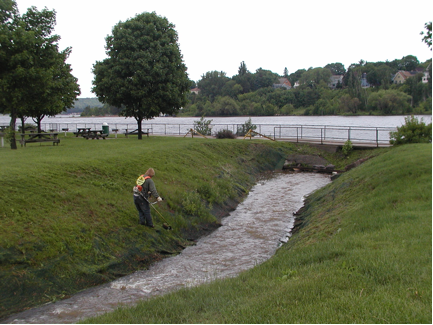
Apparently, the problem stems from an effort to stabilize erosion of the sandy bank through the use of geotextiles. Efforts to maintain the side slopes of Huron Creek through vegetation did not work as the slope was simply too steep and the result was slope failure. An effort was made to use stone and gravel but that did not work either. The following two photographs show the stream during and after the project to stabilize the slope with geotextiles.
Green geo-textile fabric was placed and anchored to the banks for protection during high flows. Notice the increase in bank side slope. |
Initially, grass grew over the geotextiles to the stream but failed to prevent erosion. |
|
|
|
City of Houghton files |
City of Houghton files
|