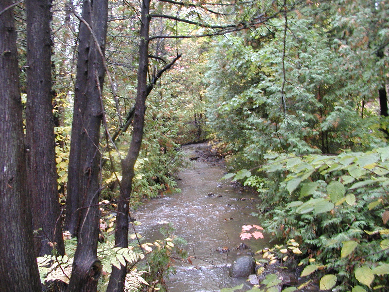
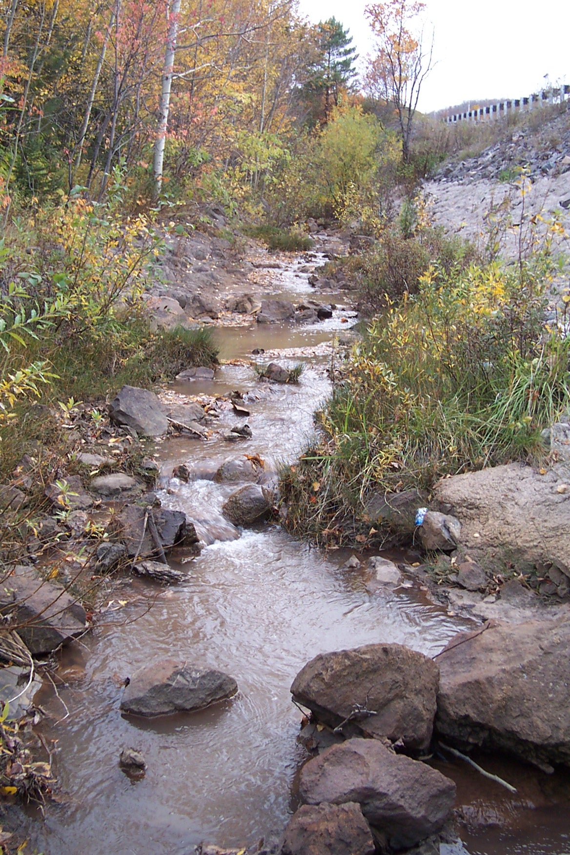
This section of stream begins at the culverts that pass under Sharon Avenue and ends at the culverts that pass under Canal Road. From Sharon Avenue north to M-26, the creek flows in a slight ravine that has a somewhat steep downstream slope. Here the creek flows in close proximity to a few commercial businesses, behind one of which, a small waterfall exists. The majority of this area is forested, as is the portion of the creek north of M-26. North of M-26 the ravine becomes steep and narrow, and is densely covered with vegetation. For a short section, the creek runs adjacent to M-26 where portions of the banks have been armored with concrete.
| Behind Rice Memorial Center | Along M-26 |
 |
 |