Bete Grise Beach
Bete Grise Landing
Gratiot Lake Landing
Park Here
Trail Entrance
Upper Trail
Lower Trail
Falls
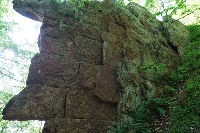
The Fault
Dam
Crossbedding
Potholes
Plunge Pool
Bigger River
Nara Center Fault site
Fault Outcrop
Hapapuura Rd
Quincy Steam Hoist
Quincy Adit