Trip Planning

Organizing your field trip to the Keweenaw, using locations and kml files to design a route, one day at a time.
Once you have selected locations you wish to visit, you might wish to plot them all on a single map, which can then be used to design the most efficient trip map.
Overview:
We use freeware which can all run on a smart phone, ipod, ipad or laptop. Use the Keweenaw Geoheritage site to choose any combination of locations from the many available. When you choose a site the kml or kmz files of that site are downloaded to a file folder which is designated in your browser. You keep downloading files until you have all the individual sites in the folder, the whole day’s multiple sites. Then you open Google Earth and swipe the folder into it. It will plot all the sites on a google earth image or google maps.
The map will facilitate determining the order of stops and its efficient navigation.
Software you will need:
A good browser, such as Safari, Chrome or Firefox.
Apply this to the Keweenaw Geoheritage website
Google Earth and Google Maps.
Some Background Sources Google/kml:
Step 1: Change default location for file downloads.
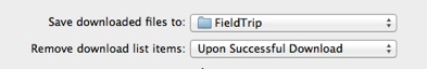
In your browser, set the download location as a folder with a name “FieldTrip” or something you will remember. In Safari, Preferences, General, Save Downloaded files to “FieldTrip”
Step 2: Use Browser to find the field locations of your field trip from the Keweenaw Geoheritage website. This amounts to grouping (subsetting) sites according to your trip theme. You may realize that such groupings are already made on many of the Go To pages, where maps of thematic groups such as Stamp Sands already exist. Using these maps will may your job easy if you wish to follow a theme such as Stamp Sands. Once you locate a site you wish to visit, download the kml or kmz file for that site using your browser. The file should load into the default folder. Repeat this process until you have all the sites you wish to visit in the folder. One way you can download these files:
-
1.Click on the “View in a larger map” below the location map on the site page.
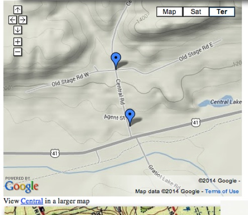
-
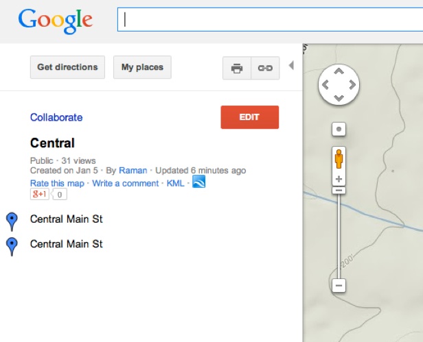
2.You will get a larger map with a panel to the left that contains KML. Click on KML. That will download the kml file for that site, putting it in the FieldTrip folder.
Step 3: Repeat step 2 until your trip has all its desired stops.
Step 4: Open Google Earth. Make sure that My places are all off.
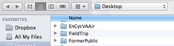
Step 5: Drag your “FieldTrip” folder, with all its kml files, into Google Earth. Drop it on the map or satellite image. All the field spots should appear in the image.
Step 6: With all the locations plotted on the same map, you may now plan the most efficient routing of stops to avoid retracing steps. You may use Google Maps, get directions, add destination, get directions, as needed to plan trip and get time estimates for various routes. This exercise is similar to a multiple delivery service which wishes to visit many places and save gasoline.
Click on this

Click on this

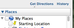
This box should be unchecked!