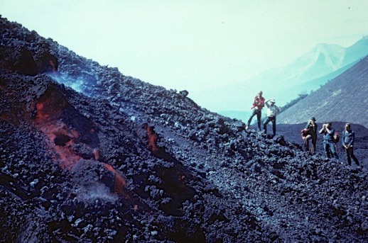
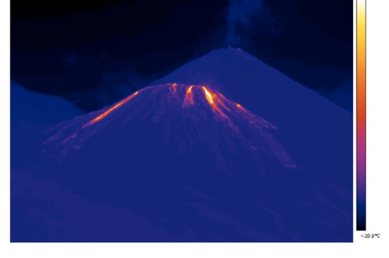
At Pacaya a major goal is to apply thermal remote sensing tools to allow regular quantification of the eruption rate of lava, which when combined with knowledge of the vent location and the dynamic digital topography can lead to a way to forecast lava flow hazards. This is the motivation for the work of Harris and Morgan (below).
Birnie, R W. (1973) Infrared Radiation Thermometry of Guatemalan Volcanoes Bulletin Volcanologique 37. 1 : 1-36.
Harris, Andrew J L; Flynn, Luke P; Dean, Ken G; Pilger, Eric; Wooster, Martin (2000); Real-time satellite monitoring of volcanic hot spots, Geophysical Monograph 116 : 139-159.
Harris, A; Pirie, D; Horton, K; Garbeil, Harold; Pilger, E 2005 DUCKS; low cost thermal monitoring units for near-vent deployment Journal of Volcanology and Geothermal Research 143. 4 (May 2005): 335-360.
Morgan HA 2012 Lava discharge estimates from thermal infrared satellite data at Pacaya Volcano, Guatemala, MS Thesis Michigan Technological University
Morgan HA, AJL Harris and L Guruli, 2013, Lava discharge rate estimates from thermal infrared satellite data for Pacaya Volcano during 2004-2010, Journal of Volcanology and Geothermal Research, on line.