More Photos for Gateway, Colorado
![]()
Return to Gateway
Photo Overview
![]()
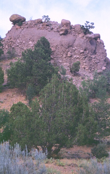
Here on the west side of
Unaweep Canyon, and the west side of the Uncompahgre Plateau, you can see what
got deposited along the side of the Uncompahgre during the Permian. These rocks
are debris flow, mudflow, and stream deposits. The clasts in the debris flow
deposits, as well as the finer matrix, make it possible to determine the source
area for these sedimentary rocks. So, what is the source? And, more
importantly, HOW can you determine where these sedimentary rocks were derived
from?
Alluvial fan
deposits on the west side of Unaweep Canyon
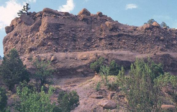
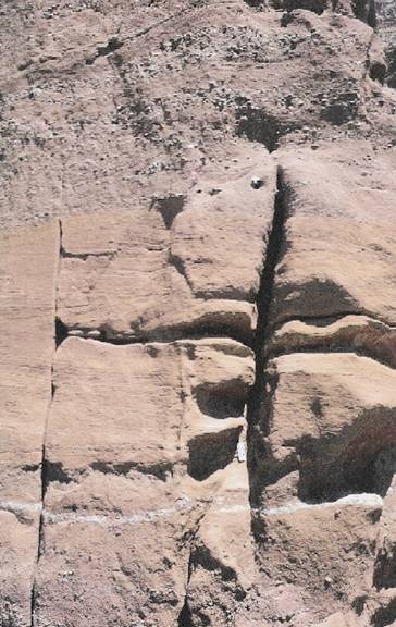
This outcrop is
exposed along 4and 2/10 Road (yes, it IS an odd name for a road) in the town of
Gateway. Here the rocks are still representative of the Gateway Fan, but these
were deposited further away from the Uncompahgre, that is, more distally. This
exposure contains evidence of fluvial and floodplain deposition. What sorts of
features are used to identify rocks deposited by rivers? What features are
common on floodplains?
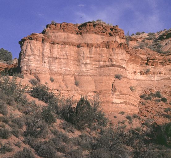
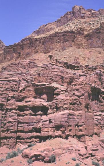
This photo looks
from the west toward the town of Gateway and the Gateway Fan. The light colored
rocks in the bottom half of the slope are the fan deposits. Above the fan, the
Triassic Chinle Formation is present, and is overlain by the Wingate Sandstone.
Generally Permian rocks in this part of the world are overlain by the Triassic
Moenkopi Formation, but here the Moenkopi is missing and the Chinle directly
overlies the Permian rocks. There are several reasons why the Moenkopi might
not be present, what are some of the possible reasons?
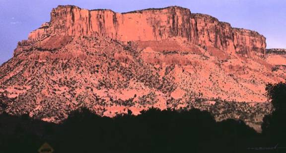
This photo is
actually taken at Fisher Towers, located in Utah to the northeast of the town
of Moab. These strata were probably deposited at about the same time as the
Gateway Fan, and represent an extremely distal part of the fan or another fan
altogether. The strata here are called the Cutler Formation, undifferentiated.
We will see a lot of Cutler later on, and further to the west it gets
differentiated into different formations. There is evidence of
fluctuations in the strength of the flow of the streams that deposited the
Cutler at this location. In this photo, a relatively coarse layer overlies a
relatively fine layer of rock, and the two layers are separated by an erosional
surface. What physical changes cause a stream to be able to carry larger
material at one time than at another? Could climate control some of these
physical parameters? How about tectonics?
Here at Fisher
Towers there is a distinct alternation between light purple and dark purple
beds. Most of the dark purple beds represent stream deposits. The light purple
beds represent stream and eolian (wind-blown) deposits. The cyclic nature of
the Cutler Formation deposits at Fisher Towers may reflect changes in climate.
Why?
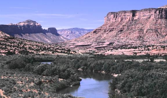
This photo shows
the Gateway Fan as viewed from the south along the Dolores River. The fan
consists of the light colored rocks in the lower one-quarter of the slope. Note
that the fan dips to the left in the photo (to the west). This dip direction is
oriented away from the Uncompahgre Uplift, and that is a bit of information
that helps to identify the Gateway Fan as an ancient alluvial fan.
![]()