Photos for Natural Bridges National
Monument.
![]()
Return to
Natural Bridges Photo Overview
![]()
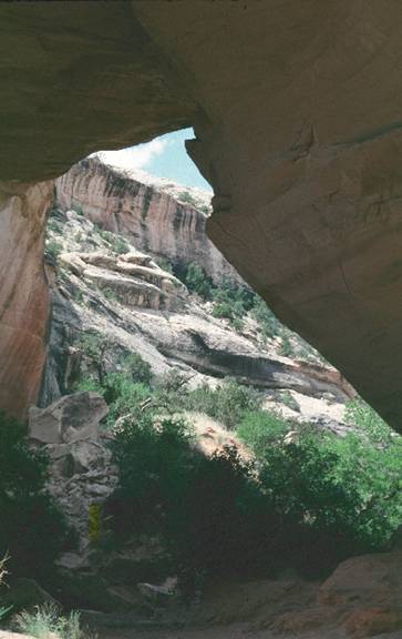
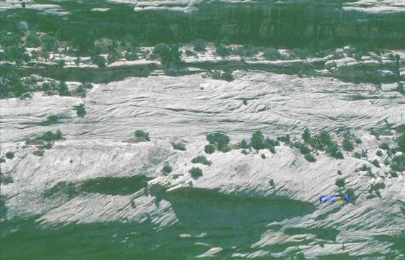
Kachina Bridge.
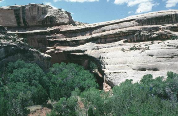
Kachina Bridge.
Kachina Bridge is a young and massive bridge that probably formed as the stream
that cut White Canyon eroded it's bank along the outside part of a meander. The
bridge is partially obscured by trees in this photo.
An example of the
cyclicity of bedding in the Cedar Mesa Sandstone.
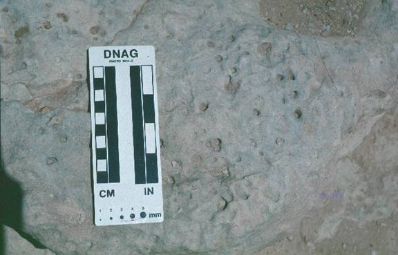
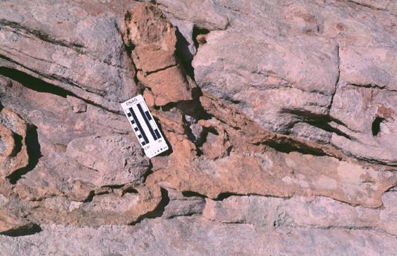
Burrows in reworked
sandstone.
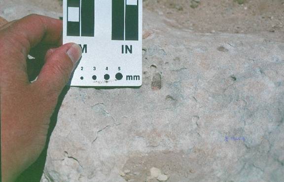
Burrows from the
red siltsone (see caption below) into the underlying sandstone.
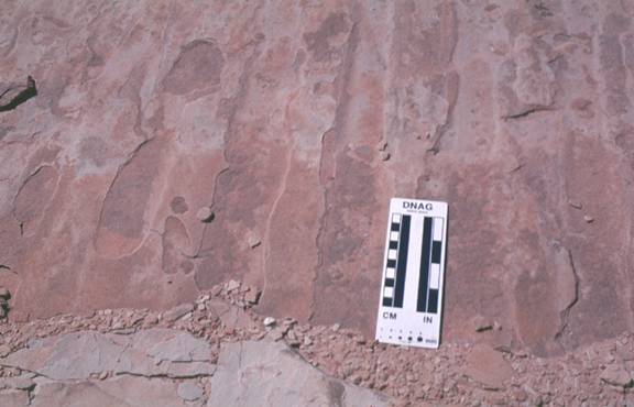
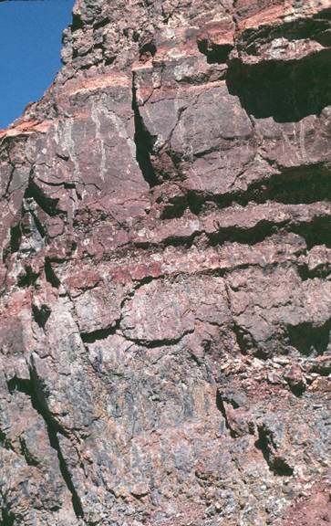
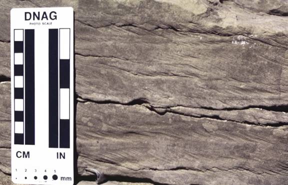
Cycles of beds in
the Cedar Mesa Sandstone. Here eolian tabular tangential cross-bedding at the
base of the photo is overlain by (eolian? fluvial? shoreface? trough
cross-bedded sandstone that is overlain by burrowed and water reworked
sandstone (beneath the underhang in the center of the photo), that is all
capped by red siltstone.
Eolian (wind-laid)
ripples on the slip-face of an ancient dune. Note the low amplitude and
long wavelength of these ripples that are formed by wind, as compared to
amplitudes and wavelengths of ripples that form in flowing water.
Crayfish burrow in the
Triassic Chinle Formation.
Crayfish burrow in
Triassic Chinle penetrates downward into red siltstone from the contact with
overlying channel deposits. In what environment did the crayfish live
(channel?, floodplain?). Where do modern crayfish live?
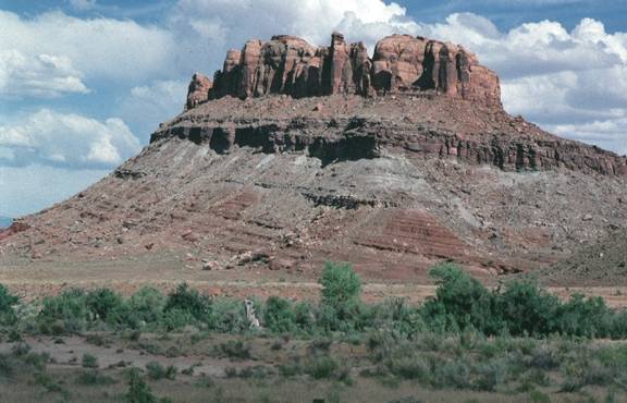
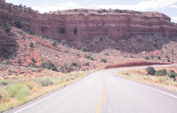
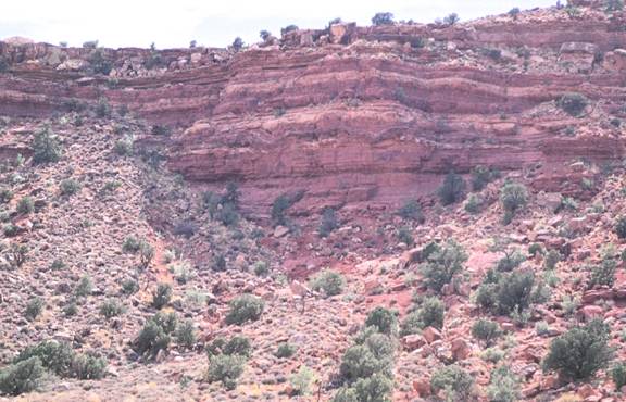
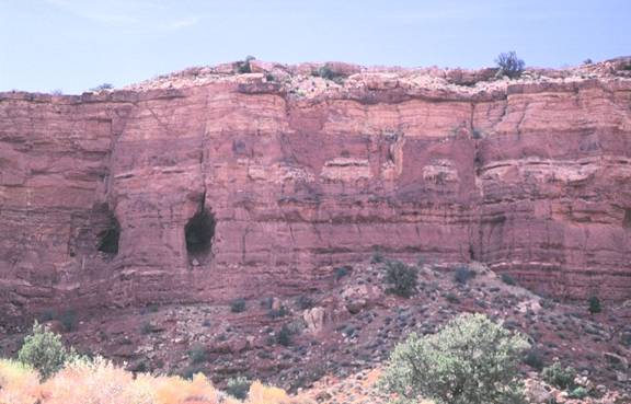
Outcrops of the
Triassic Chinle Formation (this photo is actually taken near Moab).
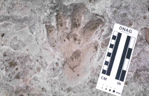
Pre-dinosaur tracks
along Indian Creek near Canyonlands National Park. These tracks were probably
not made by true dinosaurs because they are found in the Triassic Chinle
Formation which is too old to contain true dinosaur fossils or tracks. They are
however well-preserved tracks.
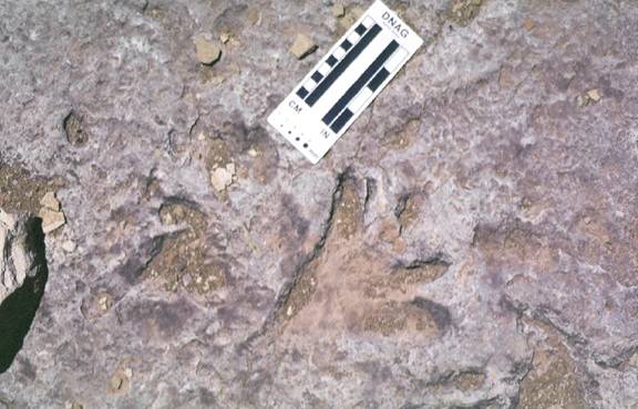
Another photo of
the tracks in the Chinle.
This is a photo of
ripple foreset lamination. The direction of flow of the water that moved the
sediment in which these ripples formed is indicated by the direction of their
dip (toward the right side of the photo). Rib and furrow structures are present
on the surface of the bed in which these ripples are found. These ripples are
the product of migration of sinuous crested ripples.
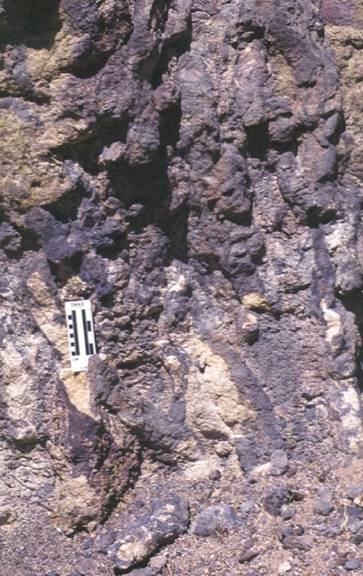
Giant fluid escape
pipes in the Hoskinnini Member of the Moenkopi Formation along White Canyon.
How might these pipes have formed? The Hoskinnini has extensive gypsum within
it. To the west the Hoskinnini merges with the Black Dragon (chert-pebble
conglomerate) Member of the Moenkopi, and it appears that the Hoskinnini was
deposited in a terrestrial evaporitic basin.
Large-scale wavy
bedding in the Hoskinnini Member of the Moenkopi Formation. Fluid migration
upward through the sediment and/or salt growth and dissolution may be
responsible for these features. This photo is from along White Canyon.
More fluid escape
pipes within the Hoskinnini Member of the Moenkopi Formation along White
Canyon.
Tree root
penetrating the Cedar Mesa Sandstone from the overlying Organ Rock Formation
near the confluence of the Dirty Devil and Colorado Rivers.
![]()