

How to plan a trip. This website is a tool for that. But there is enough here for weeks of field experiences--all in the Keweenaw and Isle Royale. So planning one day or one afternoon is a tiny subset. There are some steps to this process.
-
1.Determine the theme of the trip.
-
2.Use contextual information on the site to fully grasp and understand the theme (optional step, but teachers like this, and there is rich material here, changing every day). We have tried hard to put that information in this site--mainly using web links.
-
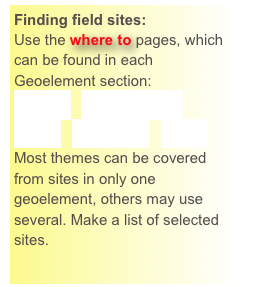
3.Find the field spots that complement the theme and each other.
-
4.Collect a list of these locations and collect their kml files in a trip folder.
-
5.Feed the trip folder into Google Earth and then optimize the route so that you get there efficiently, reaching your sites with least wasted time and energy.
Use Google Maps to design a multiple site trip plan which will find the most efficient route to all your selected sites. This will help you know how much time you need to accomplish your trip goals.
Trip Themes:
-
1.Keweenaw Earth History is perhaps the broadest one that is applicable here. It is not a great theme for a short trip, because you will see only a tiny part of it.
-
2.The Geoelements list is a first cut to focus a theme. We think that you can do a great job in the field here with those five themes-- if you take 2 days for each geoelement theme.
-
3.More focussed themes are also possible--some examples of great themes for one day trips here: Native Copper mines and their context, Zeolites and associated minerals, Large lava flows, Mining waste sites, shoreline geomorphology.
-
4.You can plan based only on location, choosing stops that are close together by using regional maps (see below).


Collect the georeference data (kml files) which is attached to the Google maps at each selected site.
You can tutor yourself about these. Another tutorial that is useful. Put those files in a folder for your trip design. Specific instructions here.


People observing the real Earth and thinking about it. That is a main point of this!

Regional subsets of the Keweenaw Geosites:
Geotopical arrays of the Keweenaw Geosites:

