 Geo-engineering
| |
Current Post-doctoral Associate
Jobin Thomas, Ph.D. - Helping Rural Counties to Enhance Flooding and Coastal Disaster Resilience
Current Doctoral Students

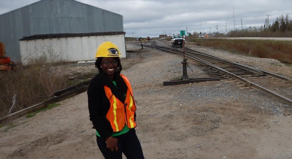
Abdul Rashid Zakaria, - Sensing and Machine Learning for Railway Ground Hazard Mitigation 
Navin Tony Thalakkottukara, - Helping Rural Counties to Enhance Flooding and Coastal Disaster Resilience 
Anush Kasargod, - An Integrated and Automated Decision Support System for Ground Hazard Risk Mitigation for
Railway using Remote Sensing and Traditional Condition Monitoring Data 
William Roland, - GPU accelerated Point Cloud processing as benchmarked against the Small Body Mapping Tool
Kathryn Marlor, - Mine Tailings Dam Stability Monitoring
James Bialas, - A Crowdsourced Knowledge Base for the Damage Assessment of Extreme Events (coadvised with Prof. Tim Havens)
Jordan Ewing, - Remote Sensing Based Terrain Strength Characterization for the Next Generation NATO Reference Mobility Model Development
Vishnu Chakrapani Lekha, - Landslide studiesCurrent MS Students
Kassidy O'Connor, - Forest Fire-induced Debris FlowPast Post-doctoral Associates
Rudiger P. Escobar Wolf, Ph.D. - Building local capacities for monitoring eruptive and catastrophic landslide activity at
Pacaya Volcano (Guatemala)
Sajin Kumar Kochappi Sathyan, Ph.D.
- Application of remote sensing to quantify uncertainties related to climate change in landslide hazard characterization in Idukki District, Kerala, India. Graduated Ph.D. Students
Chandan Kumar, - Minerals and Rock Type Mapping Using Airborne Visible/Infrared Imaging Spectrometer-Next Generation (AVIRIS-NG) Data (coadvised with Prof. Snehamoy Chatterjee) Post-Doctoral Scholar, Colorado School of Mines 
Michael Sayers, - Spatial Characterization using Remote sensing (coadvised with Prof. Robert Shuchman) Research Scientist, Michigan Tech research Institute 
Priscilla Addison, - Remote Sensing Based Assessment System for Evaluating Risk to Transportation Infrastructure Following Wildfires Product Manager, Descartes Labs 
El Hachemi Bouali, NASA Earth and Space Science Fellow - Sustainable Geotechnical Asset Management along the Transportation Infrastructure Environment Using Remote Sensing Assistant Professor, Nevada State College 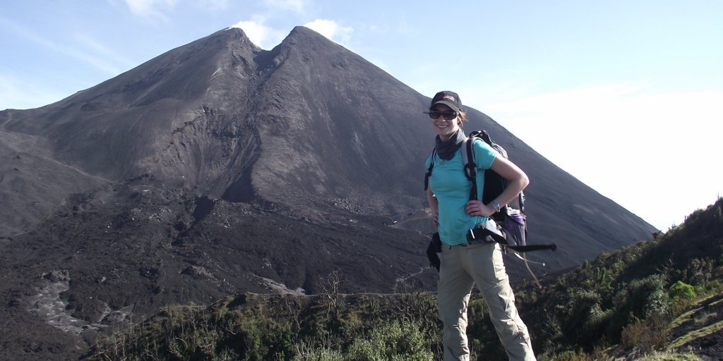
Lauren Schaefer, Ph.D., NASA Earth and Space Science Fellow - Application of remote sensing and numerical modeling to volcanic hazard monitoring Mendenhall Research Fellow, U.S. Geological Survey 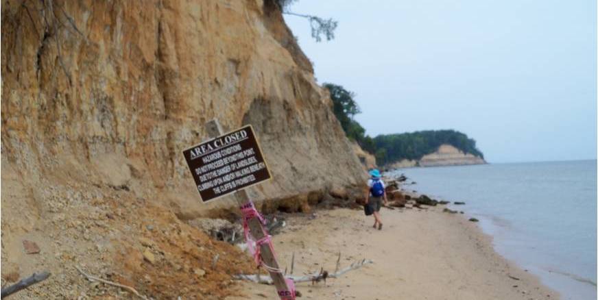
Bonnie Zwissler, Ph.D., - Biomediated Geomechanical Processes for Dust Mitigation and Monitoring at Mine Tailings Impoundments (coadvised with Prof. Eric Seagren) Geotechnical Engineer at Barr Engineering 
Renee Oats, Ph.D., - Application of Remote Monitoring Techniques for Civil Infrastructure (coadvised with Prof. Qingli Dai) Engineer, NAVSEA Warfare Centers Graduated MS Students
Ryan Klida, - InSAR-based Dam Monitoring
Iuliia Tcibulnikova, - Applying Remote Sensing to Characterize Permafrost
Stepan Pikul, - Debris Flow Modeling
Joyata Raval, - Landslide Hazards in Kerala
Maria Diletta Acciaro, M.S., - Security against geohazards at the major Enguri hydroelectric scheme in Georgia (coadvised with Prof. John Gierke)
Jonathan Sanders, M.S., - Slope stability analysis integration in ArcGIS
Lindsay Ellingson, M.S., - Landslide hazard and risk assessment in Nicaragua (coadvised with Prof. John Gierke)
Priscilla Addison, M.S., - Rail embankment stabilization needs on the Hudson Bay Railway (coadvised with Prof. Pasi Lautala)
James Bialas, M.S., - Object based image classification for earthquake induced damage assessment (coadvised with Prof. Eugene Levin)
Samantha Justice, M.S., - Remote sensing for proactive management of slope instability (coadvised with Prof. Stan Vitton)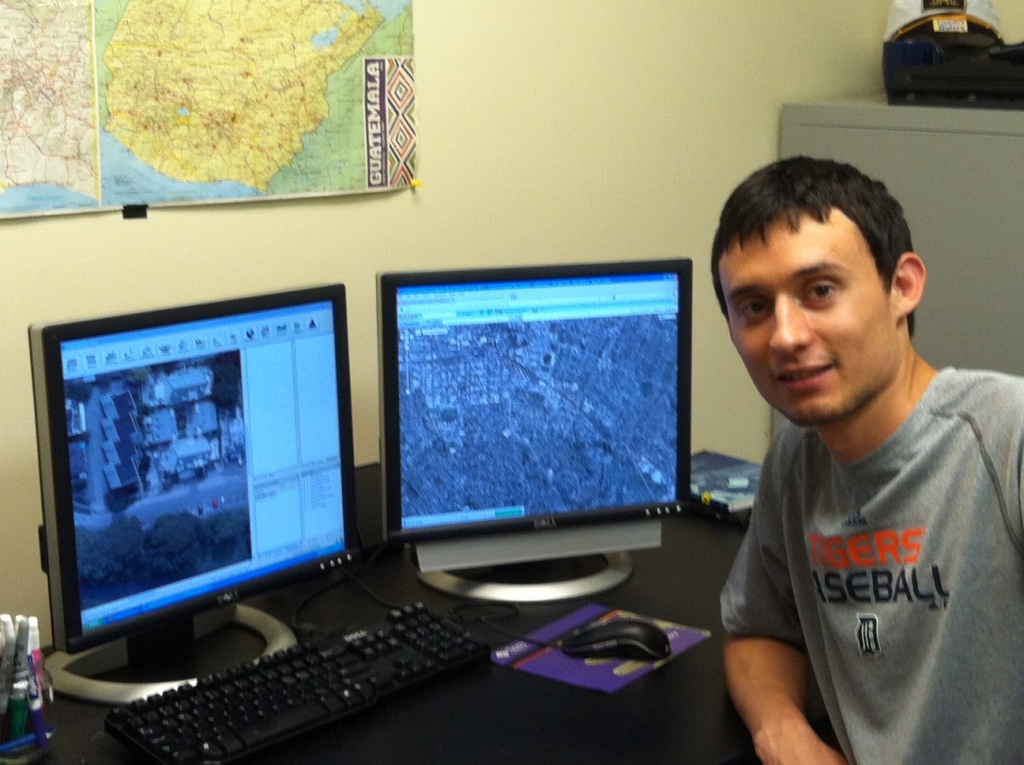
Daniel Cerminaro, M.S., NSF Graduate Research Fellow - Object-based earthquake-induced damage assessment using remote sensing 
Patrice Cobin, M.S., - Probabilistic modeling of rainfall induced landslide hazard assessment (coadvised with Prof. John Gierke)
Rachel Hetherington, M.S., - Stability of Mount Meager Volcanic Complex (MMVC) in British Columbia, Canada (coadvised with Prof. Benjamin van Wyk de Vries)
Ren Keyport, M.S., - Comparison of pixel-based versus object-oriented classification of landslides using remote sensing data
Bonnie Zwissler, M.S., - Modeling the impact of freeze thaw on cliff recession: A case study of Calvert Cliffs in Calvert County, Maryland
Daniel Smith, M.S., (2012) - Stability and rainfall susceptibility of volcanic slopes on the Chichontepec Volcano in Central El Salvador (coadvised with Prof. John Gierke)

Abhishek Jain, M.S., (2012) - Sampling bias in evaluating the probability of seismically-induced soil liquefaction
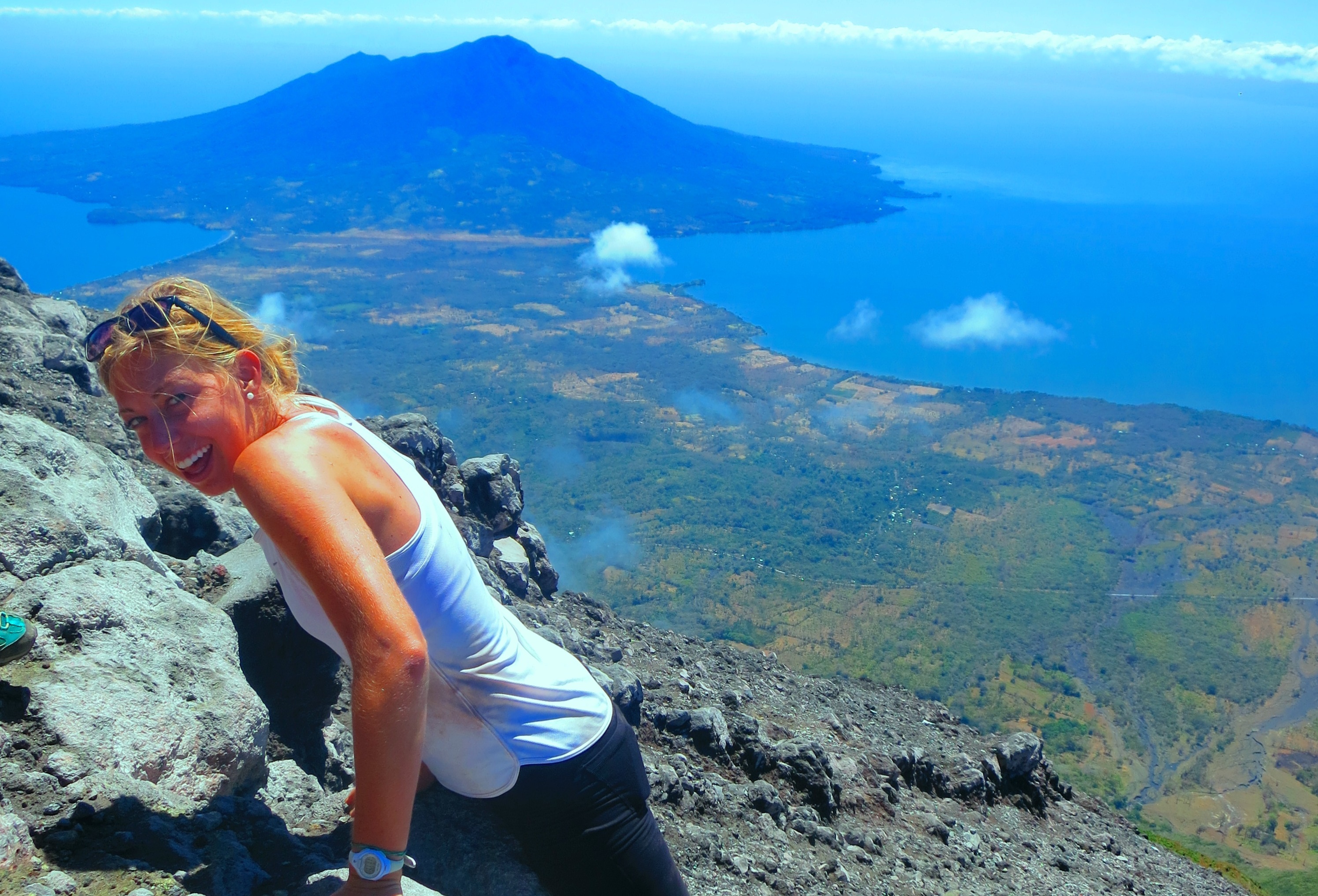
Lauren Schaefer, M.S., (2012) - Geotechnical data and numerical analysis of edifice collapse and related hazards at Pacaya Volcano, Guatemala
Patrick Manzoni, M.S. (2012) - Slope stability analysis of the Pacaya Volcano, Guatemala, using limit equilibrium and finite element method (coadvised with Prof. Alessandro Tibaldi)
Past Under-graduate Students
Kirsten DePrekel - California PSI Bridges Project
Luke Weidner - Earthquake Damage Assessment
Erica Anderson - DeVlieg Fellow: 2016-2017
Valeria Suarez Bolivar - Pavlis Young Investigator Fellow: 2016-2017